
Mauldin ZIP Coverage
The clearest documented Mauldin ZIP is 29662. City Hall and the City mailing address use it, and the USPS Mauldin Post Office uses that label. The local record is not a complete postal-boundary directory, though. City surveys also show respondents who identify as Mauldin residents using 29607, 29681, and 29605. Those survey findings demonstrate overlapping community and postal labels, not a claim that every address in any listed ZIP lies within Mauldin.
| Delivery ZIP | Supported Mauldin connection | Post office evidence | Record-search caution |
|---|---|---|---|
| 29662 | City Hall and City mailing address use this ZIP. | USPS Mauldin Post Office, 498 N. Main St., Mauldin. | First ZIP to test, but it extends beyond municipal jurisdiction. |
| 29607 | A substantial group of City survey respondents used this ZIP. | Regional GIS layer labels it GREENVILLE. | A Mauldin municipal address can carry a Greenville postal label. |
| 29681 | Appears in the City 2026 parks-plan survey responses. | No Mauldin station or municipal-address coverage was verified. | Verify an individual address through USPS. |
| 29605 | Appears in the same City survey responses. | No Mauldin station or municipal-address coverage was verified. | Service-area evidence is not a ZIP boundary description. |
The USPS Mauldin Post Office listing documents the 29662 connection used here.
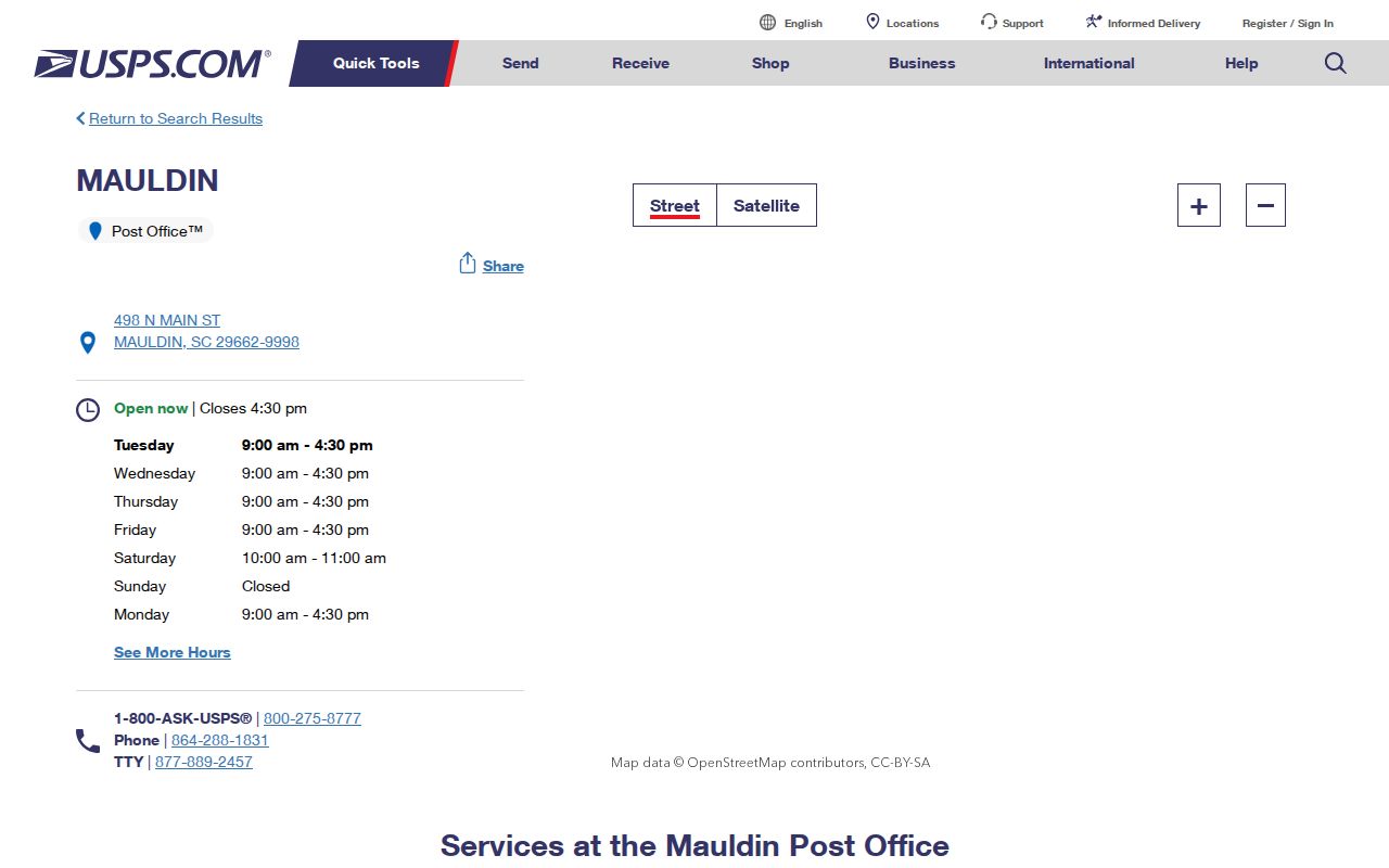
The post-office entry identifies the named postal connection, not the legal edge of the City. Use an exact address lookup before a property or record search.
Mauldin ZIP Postal Labels
Postal city names and municipal boundaries solve different problems. A ZIP is a delivery label and route. Mauldin city limits define municipal jurisdiction. Greenville County parcels establish tax geography. The same address can be in Greenville County, inside the City of Mauldin, and assigned a postal label other than Mauldin. The reverse situation is also possible: a Mauldin postal label does not prove the address is inside the City.
The City’s local surveys make this more than a theoretical distinction. One strategic-plan survey had almost 55 percent of self-identified Mauldin respondents report 29662 and just over 25 percent report 29607. The 2026 parks master-plan survey also lists 29681 and 29605. These are not population counts or USPS boundary measurements. They are a useful reminder to confirm the address, jurisdiction, and record date independently.
Note: A ZIP is a delivery clue, not a substitute for a county parcel or City boundary check.
Verify a Mauldin Delivery ZIP
The USPS ZIP Code Lookup is the documented official tool for a precise delivery address. Use it before entering the address in county systems. It can verify the delivery ZIP and ZIP+4 for the location entered. That is more accurate than selecting a ZIP because it appears in a city survey, a map label, or a postal-city phrase on a document.
Open the USPS delivery lookup used to confirm an individual address.
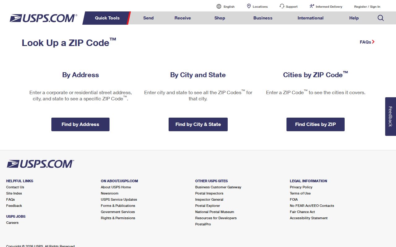
After USPS confirmation, retain the full street address and ZIP+4 in research notes. The local property portal will use the street or map number, not the ZIP, for its next step.
Mauldin ZIP Portal Limits
No inspected core county-record portal offers a ZIP-wide owner or resident search. This is an important finding, not a missing shortcut. The Real Property form has tax year, name, street, map number, subdivision, and sales sheet routes. The Tax Collector has account and map-number routes. The ROD is organized by party, document, book, and legal-description material. GIS is useful for address and parcel geography, but the published description does not promise a ZIP filter.
| Portal | ZIP field or filter verified | Proper ZIP-related use |
|---|---|---|
| USPS delivery lookup | Yes, address-to-ZIP verification | Check one delivery address and its ZIP+4. |
| Real Property Search | No displayed ZIP field | Search the confirmed street or map number. |
| Greenville County Maps | No published ZIP-filter claim | Use address and parcel geography; verify any live controls before relying on them. |
| ROD Search | No ZIP search described | Use party, document type, book, index, and legal-description context. |
Because the research did not capture an official USPS form-field inventory, this table reports confirmed portal capabilities instead of inventing field labels. It also prevents a broad postal search from promising a bulk resident output that the county tools do not provide.
Narrow Mauldin Records by ZIP
A ZIP can narrow a research question to a specific delivery address, but local evidence still needs to be gathered one address or parcel at a time. The practical chain is postal verification, property identification, map context, then recorded documents when necessary. It is designed for a particular parcel or historical address question, not a ZIP-wide household list.
- Use USPS to verify the complete delivery address, ZIP, and ZIP+4.
- Search the confirmed street in Greenville County Real Property Search, choosing a tax year and one criterion only.
- Record the returned map number and legal-description context, then use Greenville County Maps to cross-check the parcel location.
- If a recorded transfer matters, search the ROD with the matching owner, party, instrument, or legal-description clues.
- For a city-boundary, permit, or address-assignment issue, ask the City or E-911 rather than relying on the ZIP label.
Once the ZIP points to a specific road or address, the Mauldin street directory has the fuller parcel-to-deed method. That handoff preserves the difference between postal verification and street-by-street records research.
Mauldin ZIP Record Terms
Postal and property records use several similar-looking identifiers. The terms below help keep delivery evidence, parcel evidence, and title evidence separate. They are especially useful when an older deed refers to a lot or plat but a current mailing record uses a street number and ZIP.
- ZIP code
- A USPS delivery-geography label. It does not establish a city limit or parcel identity.
- ZIP+4
- An added four digits that refine a ZIP for a specific delivery segment or address.
- PO box ZIP
- A ZIP used for post-office-box delivery. No Mauldin PO-box-only ZIP was verified in this research.
- Unique ZIP
- A ZIP assigned to a single institution. No such Mauldin ZIP was verified in this research.
- Carrier route
- A USPS delivery grouping within a postal area. It is not a municipal-boundary line.
Using a term precisely keeps the record trail clear. A ZIP label can support delivery verification, while a map number connects assessment, GIS, and tax records, and a legal description connects a parcel to the deed chain.
Mauldin ZIP and Parcel IDs
For new subdivision work in Mauldin, county guidance describes a sequence that explains why several identifiers may exist for one location. Plats first go to the City for review before recording. After recording, E-911 assigns a physical address and Real Property assigns a tax map number. Carry all available identifiers forward when an old deed, a current mailing address, and a parcel record seem to disagree.
| Identifier | Keeper | What it anchors |
|---|---|---|
| Situs or physical address | Greenville County E-911 | The location used for dispatch and property records. |
| Tax map number | Greenville County Real Property Services | The bridge among assessment, GIS, and tax searches. |
| Legal description or plat reference | Greenville County Register of Deeds | The recorded lot, block, subdivision, or other title link. |
| Mailing address | Property-owner tax correspondence record | Where the account receives correspondence, not a verified physical presence. |
| ZIP and postal city | USPS | Delivery geography only. |
Greenville County E-911 assigns property addresses and can help with an assigned-address problem at 911address@greenvillecounty.org or 864-467-5914. New street names also pass through E-911, Planning, and Public Works, and private roads are marked PD on the street sign.
Map Mauldin ZIP Evidence
The regional official GIS ZIP boundary layer labels 29607 as GREENVILLE. It is a useful visual cross-check for the postal-label difference described by City survey participants. It should not replace an individual USPS verification, a City annexation record, or the Greenville County parcel map.
Review the regional GIS ZIP boundary layer captured for this Mauldin postal reference.
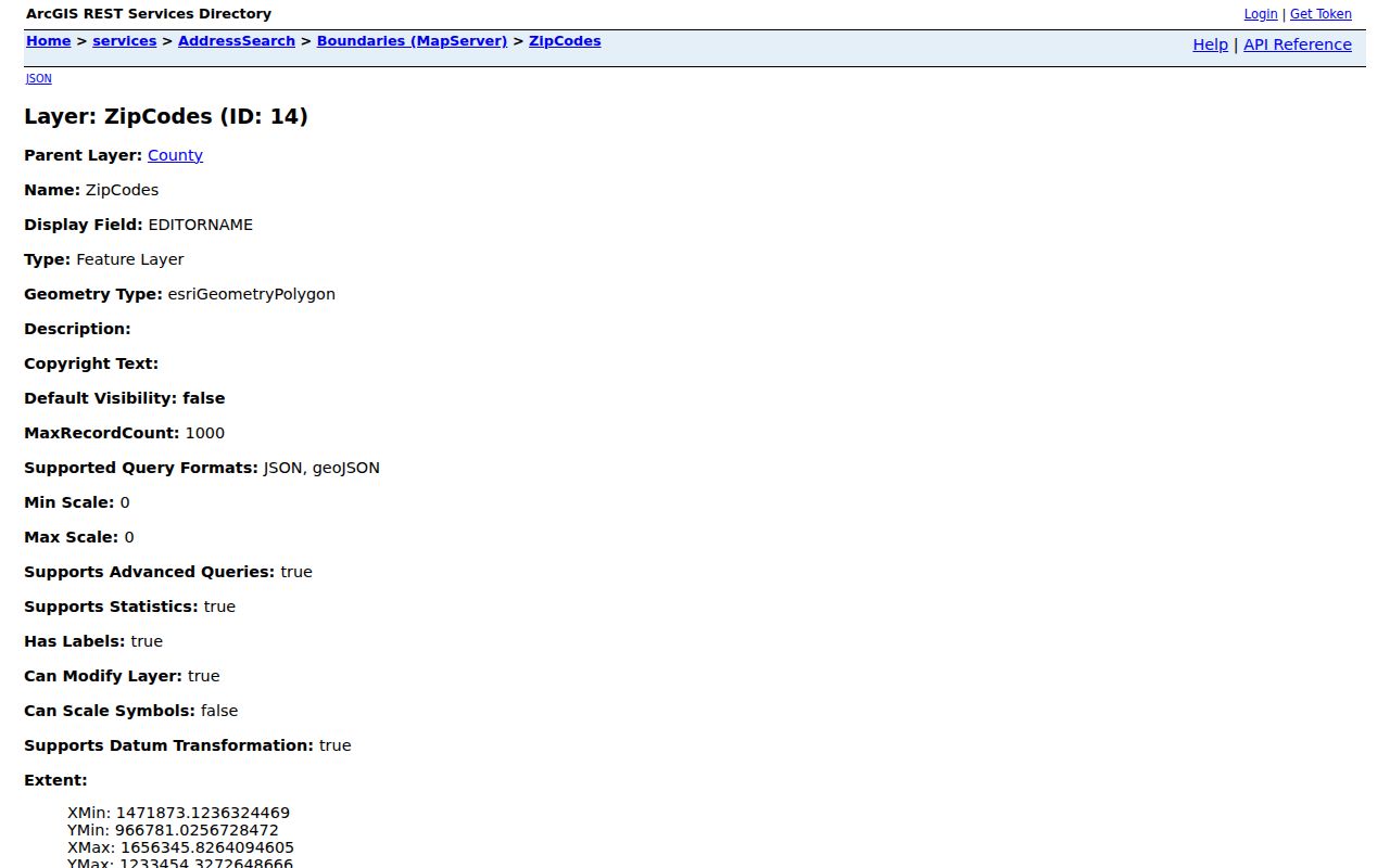
The regional layer helps explain why a postal name alone can be misleading. Use the county GIS parcel view for property geography and the City’s official planning or annexation materials for municipal jurisdiction.
Mauldin ZIP City-Line Limits
The strongest local ZIP geography lesson is simple: do not reject a Mauldin address because its postal city differs from the municipal name. The City’s 2024 annexation material also describes a City-owned tract filling a "donut hole" within Mauldin, a reminder that jurisdiction can have irregular edges. Parcel and boundary checks must be tied to the relevant date, especially where municipal growth or annexation is involved.
Boundary check. Confirm the delivery ZIP with USPS, municipal jurisdiction with City records, and tax geography with the Greenville County parcel and GIS tools.
Postal labels are valuable because they route mail. They are not evidence of ownership, current presence, voting status, or City jurisdiction. That distinction keeps delivery verification separate from a land-record question.
Note: No postal realignment year, unique ZIP, or complete neighborhood-to-ZIP map was verified for Mauldin in the research.
Mauldin ZIP Address Help
When an official portal does not supply the needed answer, use the office that holds the underlying record. E-911 handles property-address assignment. Real Property Services handles assessment-card maintenance and map-number questions. GIS can help with mapping assistance, and the ROD handles recorded instruments. For an older municipal permit, certificate, plan, or code record, the City’s FOIA request page provides the current request route.
A focused request should name the address, map number if known, record category, date range, and desired format. South Carolina FOIA supports access to public records subject to applicable exemptions. It is a better fallback for a defined record than an open-ended request for a ZIP-wide directory of people.