
Mauldin Neighbors by Parcel
A useful block lookup starts with one identified parcel, not a broad attempt to list everyone nearby. Greenville County’s map and property systems can connect an address to parcel geometry and a tax-year record. The Register of Deeds can then connect a parcel to recorded documents. Those sources document land and ownership history, not a complete list of Mauldin neighbors. Voter access has separate statutory rules, and the research found no official citywide neighborhood-association or member-directory source to fill the remaining gap.
| Source | What It Shows About a Block | Access |
|---|---|---|
| Greenville County GIS | Parcel geometry, road and address context, visible nearby polygons, and published report functions | Current GIS application |
| Real Property Services | Tax-year route for a street or map number and county-maintained parcel context | Property Search; one field per query |
| Register of Deeds | Recorded deeds, plats, party names, and legal descriptions for an adjoining parcel | ROD search; party and document index |
| Voter records | A possible official registration or precinct confirmation through lawful channels | No nearby-voter-by-street view was verified |
| Community sources | Published organization contacts, where a genuine public source exists | No official Mauldin association directory or member roster was identified |
Read each result narrowly. A map polygon establishes proximity. A property record may identify an owner of record and a correspondence address. A deed can establish a documented transaction. None of those pieces alone establishes who currently occupies an adjacent address. That difference is the central limit on a neighbors search.
Map Parcels Near Mauldin Neighbors
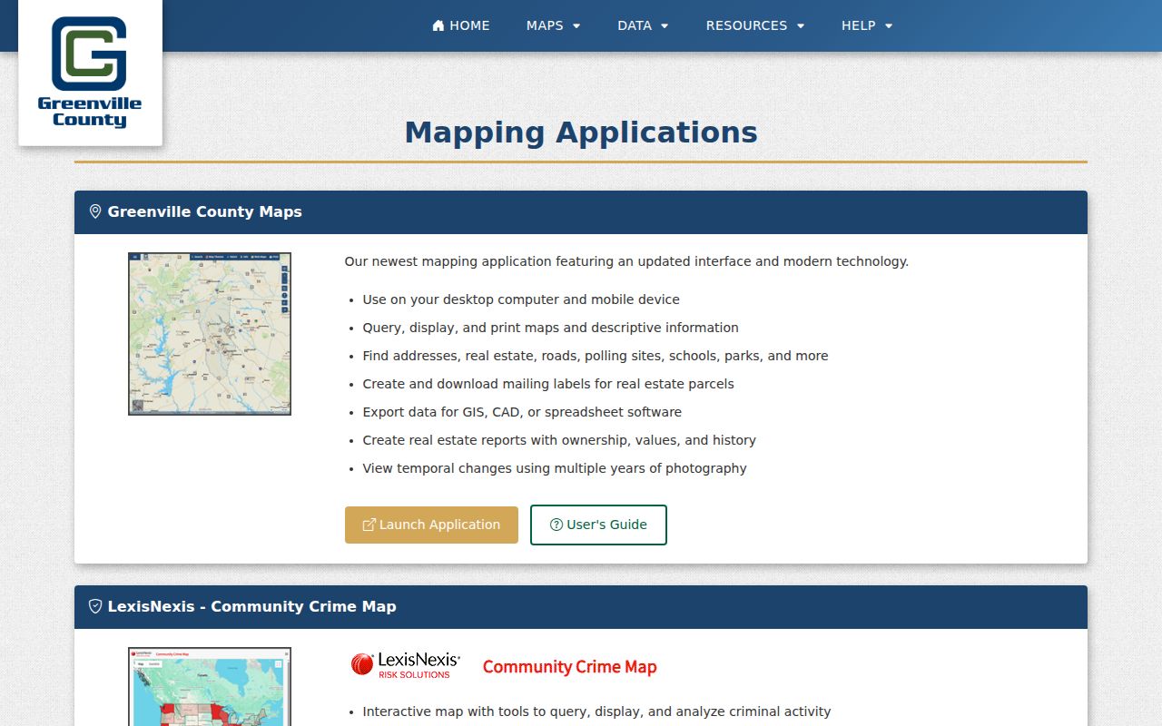
Greenville County describes its current mapping tool as a way to find addresses, real estate, roads, polling sites, schools, and parks; query and print descriptive information; create reports; and compare multiple years of photography. The published description does not verify a buffer, radius, or automatic adjacent-parcel control. Use the map as geography. Search the known address or map number, select the subject parcel, and then choose visible parcels sharing a boundary or immediately beside it one at a time.
Parcel flow: address or map number → subject parcel → adjacent map numbers → county property record → matching ROD document.
- Find the Mauldin address in Greenville County Maps and record the subject parcel’s map identifier.
- Visually select each adjacent parcel polygon and record its identifier separately.
- Run one identifier at a time through Real Property Services for the tax-year parcel route.
- Compare the legal description, lot, block, or plat reference in an ROD document before connecting it to that parcel.
- Ask County E-911 about an address-assignment problem instead of assuming a map mismatch identifies another property.
The Greenville County mapping-applications guide is represented in the capture below. It shows the official starting point for map tools rather than proof of a particular live map-panel field or automatic neighbor feature.
After the map stage, Real Property supplies the county parcel route and the ROD supplies the recorded instrument. For a complete named-street sequence rather than an immediate block comparison, use the Mauldin By Street directory.
Note: Select visible parcels one at a time because the research did not verify a current automatic adjacent-parcel control.
Mauldin Parcels Are Not Households
Parcel records are valuable precisely because they are bounded by land. They do not expose a household list. A tax mailing address may differ from the physical situs because it is correspondence for an owner’s account. A recorded owner may not live at the parcel. Other household members, utility customers, delivery recipients, and protected residents cannot be inferred from the owner name. Keep those facts separate when comparing Mauldin neighbors, even if adjacent parcels have similar ownership or a common subdivision name.
- Parcel
- A mapped piece of land identified by the county for assessment and related records.
- Situs address
- The physical location of a parcel, distinct from an owner’s mailing address.
- Map number
- The county identifier that links the GIS view to the assessment and tax records.
- Legal description
- The recorded lot, block, subdivision, plat, or other land description used to match a document to a parcel.
The County cautions that some property-detail fields may not be current during its software transition. Use GIS to locate land, the property system for the assessment context, and recorded documents for title evidence. A shared map view is not a substitute for the record held by the correct custodian.
Mauldin Neighbor Voter Limits
South Carolina treats official voter-registration records as public inspection records at the county board of voter registration or county clerk of court, but that does not create a public street-address lookup. MySCVotes is a personal login that asks for county, name, date of birth, and identifying information as it appears on a registration card. It is not a general neighbor search. The statewide voter-list product has a defined lawful access route and can be filtered by items such as county, voting district, age, participation, and registration date. Its participation history never reveals ballot choices.
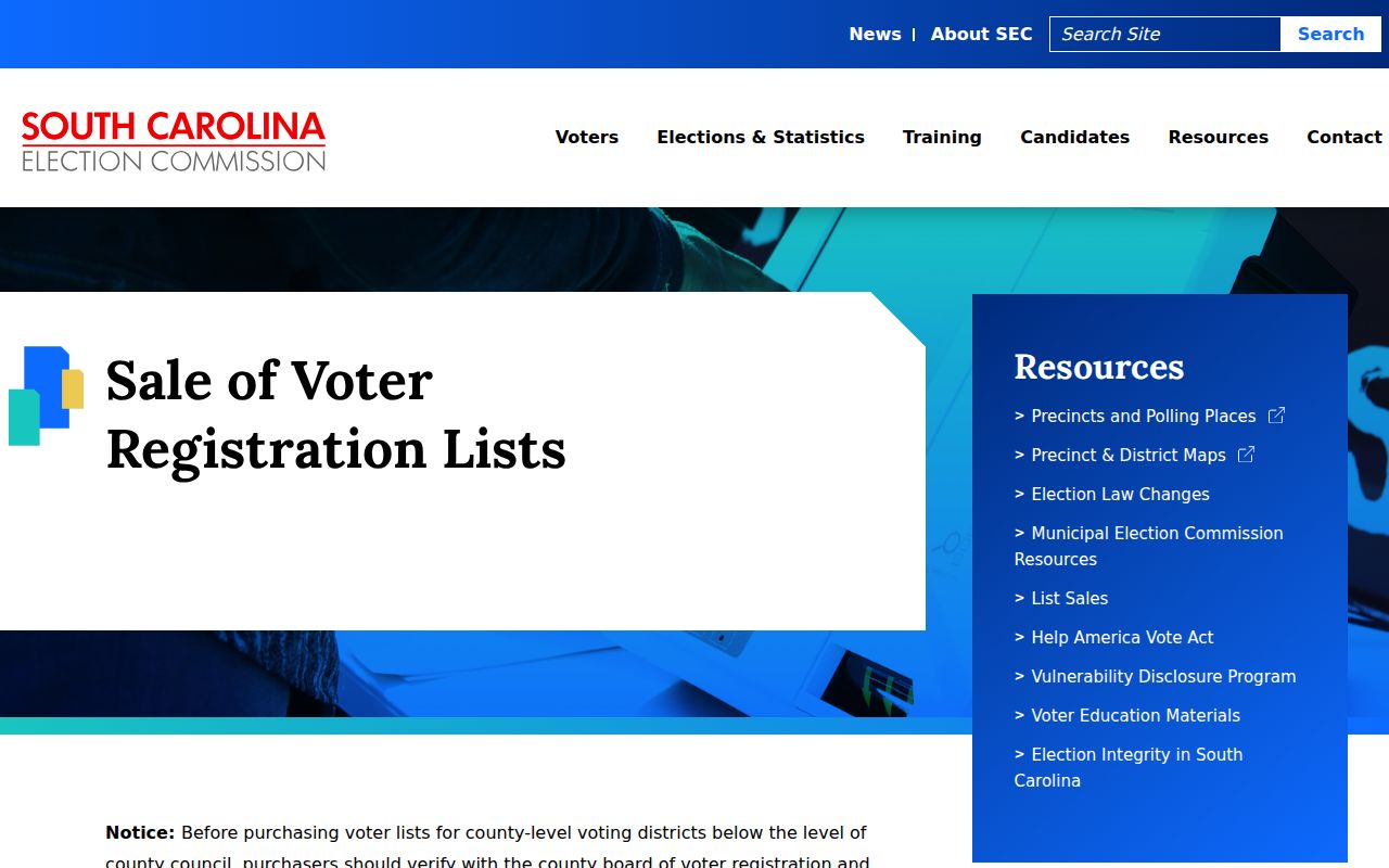
The South Carolina Election Commission’s voter-list access rules are shown in this capture. The Commission describes electronic output fields and delivery choices, with a $25 charge for an electronic list of 1 to 5,000 records. First-time online buyers are directed to contact the agency before using its workflow. That process should not be presented as a Mauldin block roster.
Protected-address rules still apply. Inactive registration status also does not establish a current location. For precinct or city-boundary questions, Greenville County Voter Registration and Elections is the documented local contact point.
Mauldin Community Directory Gap
The research did not find an authoritative Mauldin-wide neighborhood-association or HOA umbrella directory, and it did not find a public member roster. That absence matters. A public organization contact, a business directory, or a local-history collection may be useful for community context, but none should be labeled a directory of neighbors. Contact the organization itself for its current access and privacy rules before relying on any roster that is not publicly documented.
| Documented community route | What It Provides | What the research does not support |
|---|---|---|
| City of Mauldin directory | City department and service contacts | A neighborhood-association inventory or a resident roster |
| Mauldin Chamber directory | Public business-directory search | Evidence of a person’s home address or community membership |
| Greenville County Historical Society | In-person local photographs, documents, maps, oral histories, and artifacts | A public membership directory for current blocks |
| Neighborhood associations or HOAs | No authoritative citywide source found in the assigned research | Named associations, contacts, or member lists |
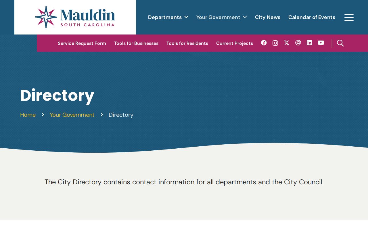
The official City of Mauldin department directory appears in the image below. It is a useful municipal contact route, especially for a defined permit or code-record question, but it is not evidence about who lives around an address.
A community source becomes useful only when it is public, current, and specific about what it contains. An undocumented group listing should never fill an evidence gap in a neighbor lookup.
Note: A municipal contact directory can route a records question but does not establish community membership or residence.
Mauldin Neighbor Deed Chain
Once map numbers identify adjacent parcels, compare each parcel with the ROD’s two-lane search. The post-1985 route covers recorded documents and all plats. The earlier route includes index books, deeds, land grants, and some mortgages. Search the owner or party name, then match the legal description, lot, block, subdivision, or plat reference. A street address alone is not the ROD’s documented index key.
Record the document type, recording date, instrument or book-page reference, grantor, grantee, and matching land description. The prior grantor becomes the next party-name search term when tracing an ownership sequence. For pre-1990 material, Greenville County tells searchers to use book type instead of relying on later subcategories. The ROD can provide public records and copies, but it does not perform title searches or give legal advice. A deed timeline documents transfers, not the day any person moved in or out.
Mauldin Block Jurisdiction Checks
Postal labels, City jurisdiction, and county parcels do not always line up. The City’s 2024 annexation material described a City-owned tract that would fill a “donut hole” within Mauldin, a useful reminder that an address label and a municipal boundary can differ. Confirm the jurisdiction and date with the County GIS and the relevant City source instead of relying on the postal city. The property-search form also has no displayed ZIP filter, so it cannot produce one official ZIP-wide neighbor result.
For a new subdivision, County guidance describes a sequence of municipal review, ROD recording, E-911 physical-address assignment, and Real Property tax-map assignment. Preserving the situs, map number, and legal description avoids confusing a newer street address with an older recorded lot. The county E-911 office is the documented resource for a physical-address issue.
Note: Verify City limits, postal delivery labels, and county parcel geography separately before drawing conclusions about a block.
Mauldin Neighbor Privacy Limits
Official parcel and court records have limits, and their public status does not authorize misuse. South Carolina’s Address Confidentiality Program can provide qualifying participants a designated address. FOIA allows exemptions and redaction for protected material. Motor-vehicle personal information is governed by federal limits, and utilities and delivery accounts are not public street lists. The right next step for a disputed official record is a narrow request or correction inquiry to the holding agency, not an attempt to assemble a private profile from unrelated sources.
| Official records | Commercial compiled profiles |
|---|---|
| Identify the responsible custodian, source record, date, and stated access boundary. | May combine older sources and can be incomplete or stale. |
| Use the custodian’s correction, copy, or records-request process for a factual issue. | A removal request does not change an underlying government record. |
| Can document a specific parcel, filing, or event within the source’s limits. | Does not replace verification with the original office. |
Lawful use. Mauldin neighbor records are for personal, lawful research. Never use an address or record to stalk, harass, intimidate, threaten, or harm anyone.
Keep a dated note of the exact record and the office that maintains it. That practice makes it easier to correct an error and prevents a parcel clue from becoming an unsupported claim about Mauldin neighbors.