
Mauldin Previous Residents by Era
The most defensible way to trace previous residents is to separate title, parcel, household, and physical-development evidence. Recorded title is strongest for an ownership transfer. An assessment record is a tax-year parcel context. A historical directory or census can place a household at an address for its particular date. None of those sources alone gives a full history of everyone who lived at a Mauldin address. Start with the era and choose the channel whose coverage reaches it.
| Source | Years it covers | Where held | What it shows |
|---|---|---|---|
| ROD recorded documents | 1985-present, with all plats in the after-1985 route | Greenville County ROD registered search | Recorded instruments and a party-based title trail |
| ROD index books, deeds, and land grants | Pre-1985 | ROD landing page and counter | Older grantor/grantee and deed-book work |
| Assessment search | Displayed tax years 1995-2027, plus listed special values | Greenville County Real Property Search | Tax-year map and owner context; not a household list |
| Regional directories | Varies by verified volume | South Carolina Room and local collections | A dated address or household lead when the volume reaches Mauldin |
| Federal census | Released schedules through 1950 | National Archives and library research channels | Household information at the census date |
| GIS reports and photography | No year-by-year Mauldin coverage table published | Greenville County Maps | Parcel geography and physical-development clues |
For a recent transfer, start with the current parcel and work back through recorded documents. For an older household question, use the deed trail to establish the parcel, then pair a correctly scoped directory with the closest released census. Probate and obituary material can supply family-history leads at the end of a trail, subject to the custodian's access rules.
Mauldin Previous Residents: Parcel First
Use the Greenville County Real Property Search as the first address step. Select a tax year and use one search route at a time: owner name, street, map number, subdivision, or sales sheet number. The county form rejects more than one populated text field. Retain the map number and legal description before moving to the Register of Deeds. A legal description identifies the recorded land through a lot, block, subdivision, plat, or other land wording, and is more reliable than forcing an older deed to match a modern house number.
Keep the situs address, tax map number, legal description, and a record's date together. The situs identifies the parcel. A mailing address is correspondence for the tax record and may differ from the situs. Neither proves that a particular person was physically present at the address. GIS can locate the parcel and provide a geography cross-check, but Greenville County advises that some property-detail values may be stale during its software transition.
Mauldin Previous Residents Through Deeds
The Greenville County Register of Deeds is a recorded-document index, not a street-address directory. Its registered-user system describes recorded-document searching from 1985 to the present, and the County separately provides a pre-1985 collection of index books, deeds, land grants, and some mortgages. Match a deed's legal description, lot or plat reference to the parcel before deciding it concerns the same Mauldin property. Recorded title establishes a transaction or interest, not the date a former owner moved away or the identity of each household member.
- Find the current parcel by street or map number and copy the legal description and current owner context.
- Search the current owner as a party or grantee in the ROD, using a likely deed, plat, book, or instrument reference.
- Confirm that the legal description, lot, block, or plat matches the parcel before recording the prior grantor.
- Search that prior party and repeat one recorded instrument at a time, saving the book and page or instrument number and recording date.
- At the earlier boundary, switch to the pre-1985 index books and deed routes or ask the ROD counter for the defined public record.
- Grantor
- The party transferring an interest in a recorded instrument.
- Grantee
- The party receiving an interest in that instrument.
- Chain of title
- The linked sequence of recorded transfers for the same parcel, checked by legal description rather than name alone.
- Legal description
- The deed's land identifier, such as a lot, block, subdivision, plat, or metes-and-bounds description.
Mauldin Previous Residents in ROD Lanes
The method changes at the online boundary. The ROD describes the after-1985 route as including recorded documents and all plats, while the pre-1985 collection exposes index books, deeds, land grants, and some mortgages. The office specifically cautions that pre-1990 work should be searched by book type rather than by relying on later convenience subcategories. Deeds for 1940-1984 were also recently added to the County's records information, but a search still needs the correct party and property context.
Open the Greenville County ROD grantor-grantee search after identifying the party and parcel clues.
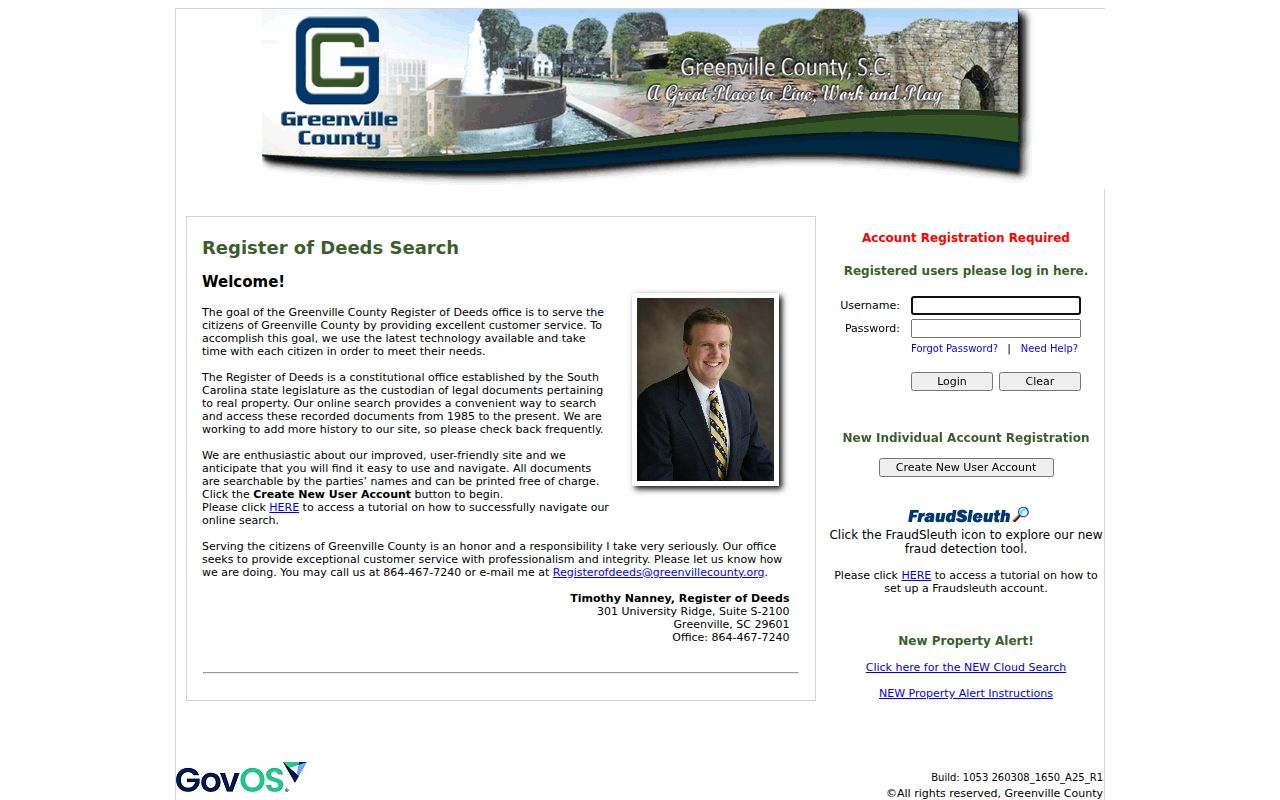
The ROD search is the documented route for title research, but a match becomes useful only after its legal description is checked against the Mauldin parcel.
For a non-digitized record, the ROD counter is at 301 University Ridge, Suite S-2100, Greenville, and the office phone is 864-467-7240. The office says it cannot conduct a title search or provide legal advice. Certified copies are available for a small fee, which should be verified with the office before ordering.
Mauldin Previous Residents and Census
After the parcel and deed sequence are stable, historical directories can add the household layer. The regional Greenville collections must be checked issue by issue because the sources do not establish a separate Mauldin run. A printed address, spelling variation, or business clue can guide the next search, but it does not prove title or a complete household. The Mauldin city directories collection details the catalogued shelves, access limits, and older local-name searches.
The National Archives notes a 72-year release practice, with 1950 as the latest public population census. Schedules from 1850 through 1950 can identify individual household members, while 1790-1840 generally name only a head of household. The 1890 federal population schedules were largely destroyed in a 1921 Department of Commerce fire, so the absence of a 1890 household result is a nationwide records gap.
- Choose a directory volume whose geography and year match the address question.
- Copy the exact name form, printed address, page, and year without expanding an abbreviation from memory.
- Compare the nearest available issue before or after it for an address or spelling change.
- Pair the dated listing with the closest released census and keep the two record dates distinct.
- Test the household clue against the parcel, deed, obituary, or probate record before treating it as a conclusion.
Mauldin Previous Residents House History
The South Carolina Room's house-history guide sets out a practical route: historical real-property cards, online deeds and plats, microfilm, city directories at SC 917.5727, Sanborn maps, the 1882 Kyzer Greenville County map, the 1825 Mills map, Greenville City Block Books for 1923 and 1924, newspapers, and National Register documentation. The guide identifies the Greenville County Historical Society as a photograph lead, but warns that the South Carolina Room has limited residence photographs and no blueprints. Its named block books concern the City of Greenville, not a promise of Mauldin coverage.
The Greenville County historical-records search reaches beyond the modern register into selected collections.
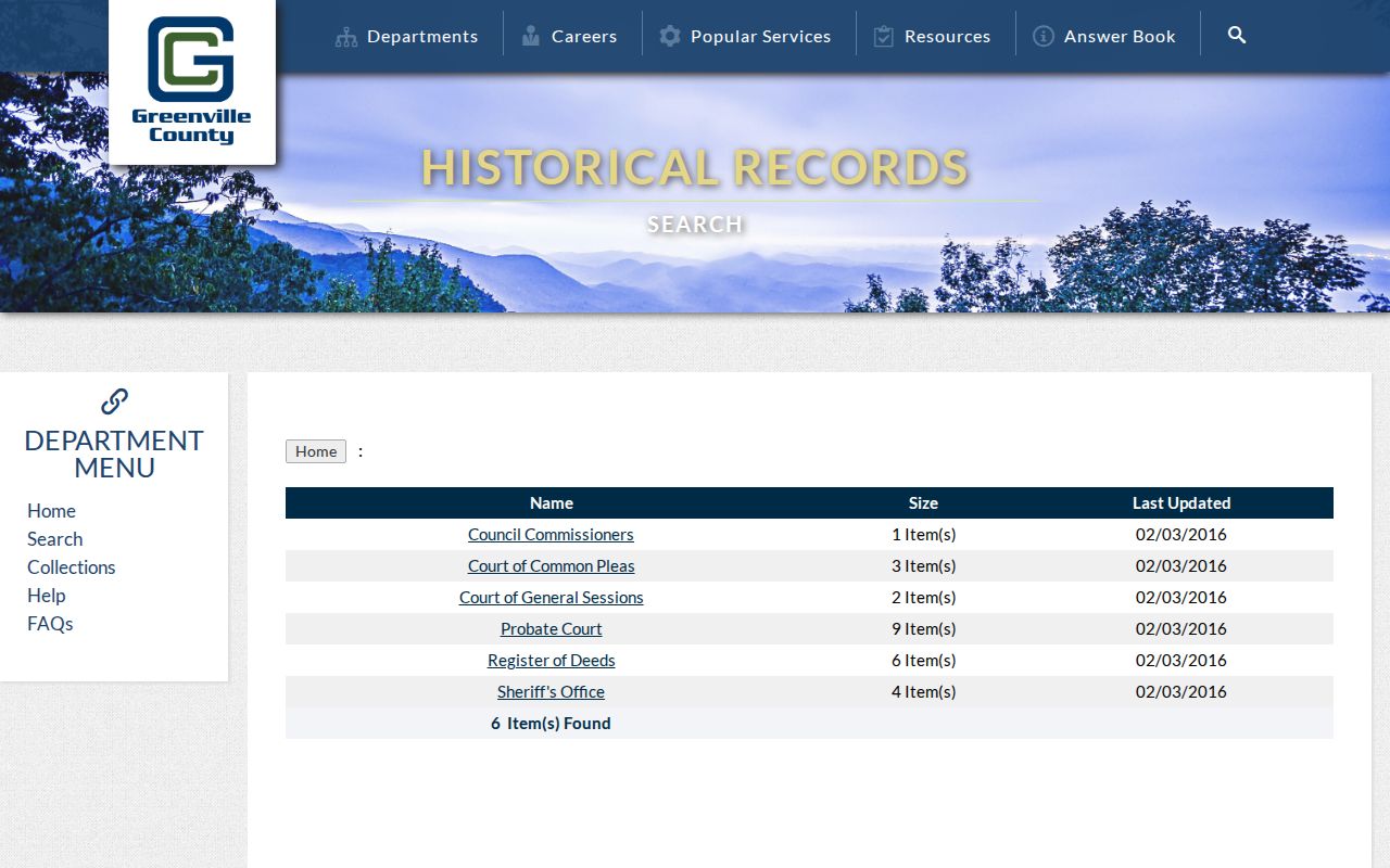
County historical images are also on microfilm in the South Carolina Room, while further microfiche, microfilm, and originals may remain at the office that created the record.
Sanborn and permit evidence requires special care. The research did not verify Mauldin-specific Sanborn years or a public self-service permit search. For an in-city historic permit, certificate, plan, or code record that is not online, use the City of Mauldin's FOIA request channel with the address, approximate date, record class, and preferred delivery format.
Mauldin Past Residents and Older Names
Older place names can break a simple address search. The City history places Butler's Corners and Butler's Crossroads in 1868, followed by the town charter in 1890, reincorporation in 1910, charter revocation in 1932, and reincorporation in 1957. A document from the inactive-charter period may use a crossroads, road, or Greenville County description instead of a Mauldin city label. Test the road, parcel, and county context before deciding the record belongs to a different place.
The County E-911 office assigns property addresses and helps resolve an address-continuity issue at 911address@greenvillecounty.org or 864-467-5914. County subdivision guidance also describes a sequence of municipal review, ROD recording, E-911 physical-address assignment, and Real Property tax-map assignment for new lots. No source inspected establishes a citywide Mauldin street renumbering or rename date, so a mismatch should be investigated rather than explained with an invented date.
Mauldin Previous Residents and Lawful Use
House history, family research, estate questions, and local history are appropriate reasons to assemble a dated record trail. Keep property owner, deed party, tax-mail recipient, and household member as separate roles. A transfer does not show when a person left, and a parcel record does not enumerate every adult who lived there. Protected address, court, motor-vehicle, utility, and delivery information should not be used to fill a gap in a historic address search.
Greenville Probate Court can be a family-history endpoint when its access rules permit, and the library's obituary index can connect a newspaper date to the South Carolina Room microfilm. Those sources should corroborate a dated address trail rather than replace it.
Mauldin Records When Digitization Stops
When an online result ends too late or lacks an image, follow the custodian. Call Real Property Services for map-number or address-data questions, the ROD for older book or index access, E-911 for address assignment, and the City for municipal permit files. A focused request should name the map number, legal description, current street address, record type, bounded date range, and whether inspection or a copy is wanted. It is more likely to reach the right record than a request for a general former-resident list.
Greenville County says that its Historical Records material is only a selection and that all online images are on microfilm in the South Carolina Room. The library request form lists $5 vital and newspaper searches and $15 deed and probate searches, prepaid and nonrefundable. This fallback chain keeps the Mauldin previous-residents trail tied to sources that can actually verify the record.
Note: Preserve the record's date, exact address form, map number, and legal description before moving to another index or archive.