
Walk a Mauldin Street Directory
Greenville County keeps the most useful Mauldin records outside City Hall. Start with the Real Property Search, choose a tax year, and enter one permitted criterion. Its street field is the broad first pass. A resulting map number and legal description are the durable identifiers that let an address move between the assessment roll, map, and recorded instruments. The process can identify a public property interest or document trail. It cannot prove who is physically present at a house on a given day.
- Enter the street in Real Property Search and retain the parcel map number and legal-description clues for the right result.
- Find the same parcel in Greenville County Maps to check its street and nearby parcel geography.
- Use the map number or a single owner-name search to refine the county record, rather than combining fields on the property form.
- Search the Greenville County Register of Deeds by the matching party and legal-description context to locate the recorded instrument trail.
- For a historical household question, compare a verified directory or census source with the address and date, without treating title as proof of occupancy.
That sequence stays reliable because each system has a narrower role. The street field supplies a starting set, GIS supplies location, and the deed index supplies recorded transfers. A voter record is not a street-by-street public lookup, and a current self-service voter session is personal to the voter.
Mauldin Street Records by Address
Address-keyed sources should be read as a chain of separate records. The assessment roll is the closest county entry point for a street. GIS can place a parcel along the road. The Register of Deeds, often called the ROD, carries the recorded document chain. The Tax Collector gives an account cross-check, not a roster of people. Municipal permit material may be available by request, but this research did not find a public Mauldin self-service permit or code search. Ask the City Building Official or permit staff for the correct copy route.
| Address record | Custodian | Useful street evidence | Access and limit |
|---|---|---|---|
| Assessment roll | Greenville County Real Property Services | Tax-year parcel, ownership and legal-description context | Free property search; one text criterion at a time |
| Parcel map and report | Greenville County GIS | Address, road, map number, real-estate context and historical imagery | Free map; property-detail values may be stale during the transition |
| Deed and plat index | Greenville County Register of Deeds | Parties, instruments, plats and legal descriptions | Post-1985 search plus a separate pre-1985 collection |
| Tax account | Greenville County Tax Collector | Account or map-number cross-check | Posting delays apply; not proof of occupancy |
| Permit or inspection file | City of Mauldin or county, as jurisdiction requires | Potential dated work or inspection material | Request the actual search or copy channel from City staff |
Before relying on a result, check the street suffix, unit or lot, map number, and legal description together. A street name alone can pull more than one parcel. For a matter involving one identified person rather than a street, use the separate Mauldin resident lookup workflow to compare name-indexed records carefully.
Note: A tax mailing address is correspondence information and may differ from the physical parcel location.
Search Fields for Mauldin Streets
The county property form is designed for a single route into the roll. It displays tax years from 1995 through 2027, several special values, and ALL. Choose the year first, then use one text field. Its validation rejects a search with more than one populated text field. That limitation is useful: begin with the street, then take the returned map number or exact owner spelling to the next search rather than trying to force an all-in-one query.
| Field label | Type | Required | Official format note |
|---|---|---|---|
| Select Tax Year | Dropdown | Select a year | Displayed values include 1995-2027, 3025, 5025, 8022, 8025, 8026, and ALL. |
| Enter Name | Text | One search field | Example: Smith William; maximum 29 characters. |
| Or: Enter Street | Text | One search field | Example: Main St. Use this route first for a Mauldin street. |
| Or: Enter Map No. | Text | One search field | The displayed example has 13 digits. |
| Or: Enter Subdivision | Text | One search field | Example: The Arbors. |
| Or: Sales Enter Sheet No. | Text | One search field | Example: 654321. |
| Search | Button | Submit action | The form rejects more than one populated text field. |
The same form has a separate voided-property-card route that requires a map number. It has no displayed house-number field, ZIP filter, or combined owner-and-address query. The county did not provide a redacted live parcel card during the research capture, so individual result labels should be read on the current record rather than presumed in advance.
Map a Mauldin Street by Parcel
The current Greenville County mapping application can find addresses, real estate, and roads; query, display, and print descriptive information; make real-estate reports; and display multiple years of photography. Search the address or street, identify the parcel, and record its map number. Adjacent visible parcels can be selected one at a time, then checked through the assessment and ROD systems. The published functions support that method without claiming an unverified buffer or neighbor tool.
View the Greenville County parcel GIS viewer used for this Mauldin address-record trail.
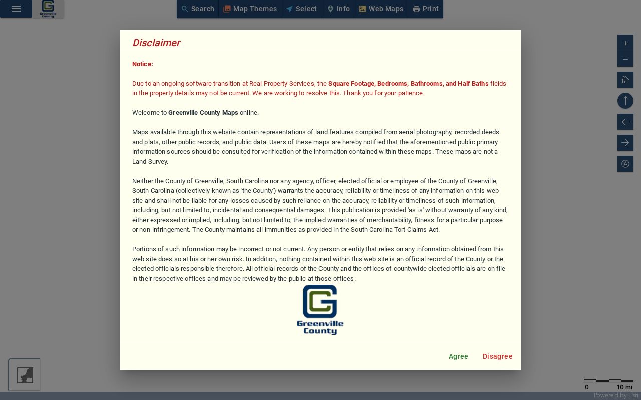
Use the mapped parcel as a geographic cross-check, then confirm recorded title with the ROD. The County cautions that square-footage and room-detail values may not be current during its Real Property Services software transition.
Trace a Mauldin Street Deed Chain
Once the parcel is identified, deeds require a shift from street search to party and document research. The ROD says its post-1985 route covers recorded documents and all plats, while its pre-1985 route has index books, deeds, land grants, and some mortgages. Use the current owner as a grantee or party only after matching the legal description, lot, block, plat reference, or map context to the parcel. Record the instrument or book-page reference and prior grantor, then repeat the process one instrument at a time.
The Register of Deeds public-record search is the correct source for the document side of an address search.
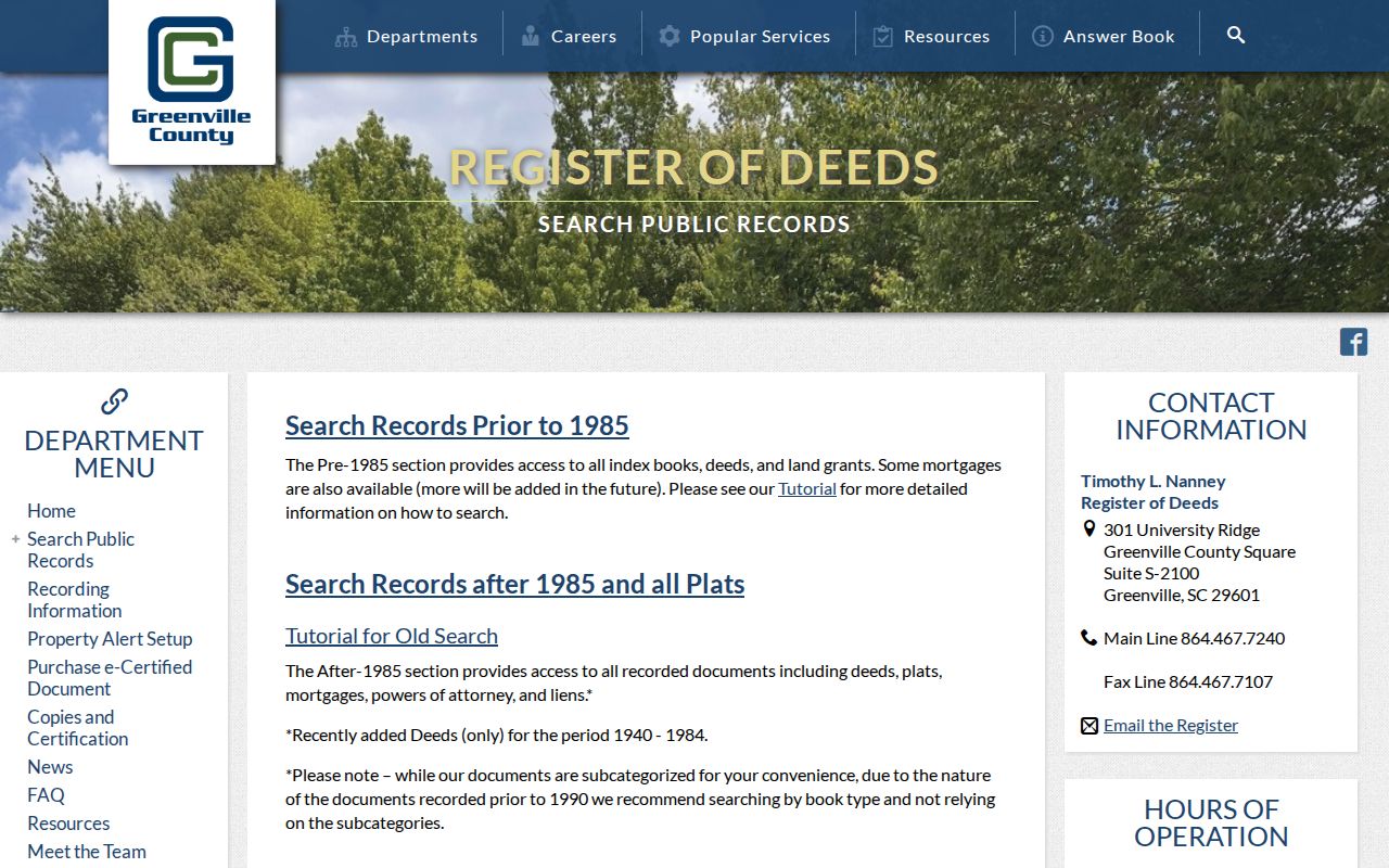
The ROD does not promise an address search. For records before 1990, its guidance says to search by book type rather than depend on later convenience subcategories. Its counter is at 301 University Ridge, Suite S-2100, Greenville, and the office number is 864-467-7240. Staff can help locate public records, but cannot perform a title search or give legal advice.
Note: Recorded title shows a documented transaction or interest, not a date when a person moved into or left the address.
Mauldin Street Record Terms
Four terms keep an address search from becoming an overstatement. Use them consistently in notes, especially when a modern street number does not appear in an older instrument. New Mauldin subdivision work can move from municipal review to ROD recording, E-911 address assignment, and Real Property tax-map assignment. Each identifier has a different source and purpose.
- Parcel
- A defined tract in the county assessment and mapping system, commonly connected to a tax map number.
- Situs address
- The physical location assigned to a parcel. It is distinct from the address used for tax correspondence.
- Plat
- A recorded survey or subdivision map that can connect a lot or block to a later street address.
- Criss-cross directory
- A reverse address directory, if a verified local volume exists, that organizes printed entries by street rather than only by name.
For an address-assignment problem, Greenville County E-911 is the authority. It can be reached at 911address@greenvillecounty.org or 864-467-5914. Preserve the exact street direction and suffix when asking about continuity.
Mauldin Street Tax Cross-Checks
The Greenville County Property Tax Search is useful after a parcel or map number is known. Its routes include Account Number, Name, County File Number, MAP Number, and Permit Number, among other account types. It allows only one search box at a time. Treat it as an account cross-check rather than a source for current household information, because the County also warns that online payments may take up to four days and mailed payments up to three weeks to appear.
See the county tax-search screen used for this property-record cross-check.
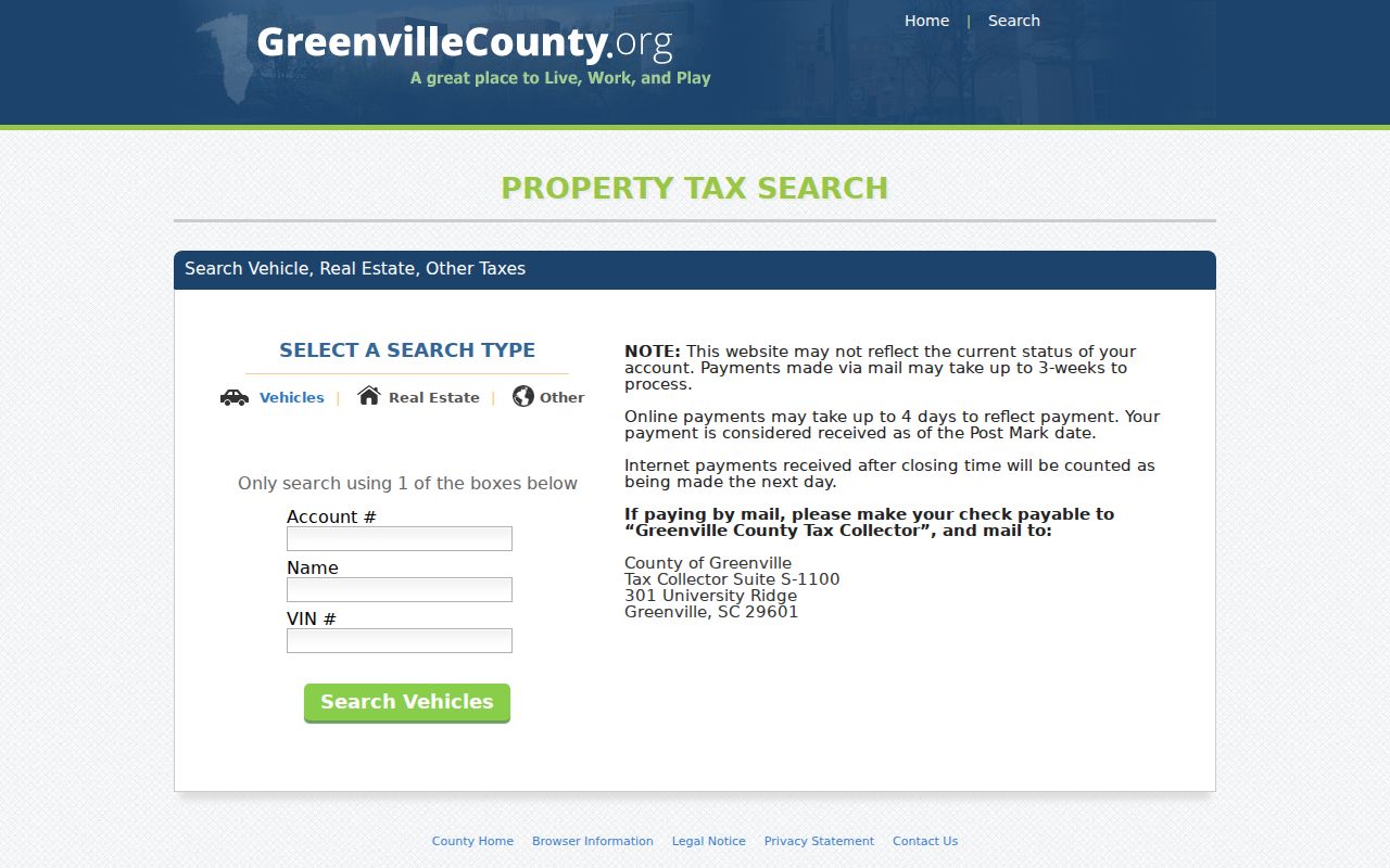
A tax account can help confirm that the map reference is being carried through the right county system. It cannot establish who receives mail, uses utilities, or lives at a property.
Start a Mauldin Street Search With the Parcel
A practical local tip comes directly from the ROD workflow: get the owner name from Real Property before searching recorded deeds. An address-only searcher is more likely to find the right instrument by first saving the map number, parcel context, and legal description. Then compare the deed against that information. The apparently simple street address can change format over time, while the recorded lot or plat reference may provide the more stable connection.
When a newer lot is involved, county guidance describes a sequence of City review, ROD recording, E-911 physical-address assignment, and Real Property tax-map assignment. That sequence explains why an older document may identify land without the present street number. It also explains why this address-record process should not be treated like a single master index.
Mauldin Street Directory Owner Limits
A named owner in a property record is not automatically the person at the address. Real Property Services maintains ownership, legal-description, and owner mailing-address information for assessment purposes. A situs address identifies the parcel. A mailing address, if it appears on a current card, is where correspondence is sent. Neither field is a complete statement about everyone connected to a home.
Historical reverse directories can provide a separate address-to-household clue for the year printed, but this research did not verify a Mauldin or Greenville reverse-directory run, publisher, shelf location, or sample entry. A confirmed volume belongs with the historical Mauldin city directories, where its date and access can be assessed alongside other sources.
Note: Keep the tax year, document date, and any directory year together before drawing an address-history conclusion.
Mauldin Street Voter Record Limits
South Carolina treats official voter-registration records as public inspection records at the county board of voter registration or county clerk of court, but that rule does not create a public street-address lookup. MySCVotes is a personal voter service that uses information from the registration card. It can provide registration, polling-place, sample-ballot, absentee or provisional-ballot, and personal voting-history services to the voter. Participation history does not reveal ballot choices.
For a defined official list process or precinct question, contact Greenville County Voter Registration & Elections at McAlister Square, 225 S. Pleasantburg Drive, Suite B6, Greenville, SC 29607-2533, 864-467-7250, or consult the South Carolina Election Commission list-access information. Confirm the city boundary with the elections office instead of relying on a postal label.
Limits of a Mauldin Street Directory
Public parcel and deed records leave important gaps by design. Driver-address information is protected by the federal Driver's Privacy Protection Act. Utility and delivery accounts are not a public street list. Protected voter addresses, address-confidentiality rules, sealed court files, and juvenile records cannot be used to fill those gaps. The South Carolina Address Confidentiality Program gives qualifying participants a designated address for use by state and local agencies and courts.
Lawful use. Mauldin address records support personal, lawful research only. South Carolina stalking and harassment laws address intentional, substantial, unreasonable intrusion without legitimate purpose.
For a particular missing municipal permit, certificate, plan, or code record, use the City’s FOIA request channel with the address, record type, and a narrow date range. The City’s updated form supports requests for Building Codes and Zoning Code records and offers inspection, mail, pickup, fax, email, or other delivery choices. A focused request is more likely to reach the right custodian than a demand for a general address list.